Tuesday, February 24: Rain overnight clearing to foggy and then sunny with patchy clouds
Tramping: 20.9 km
Danni’s ($200 for 3 nights)
Nick had taken one bed of the triple that I had occupied and, unfortunately, he snored – mainly when on his back, so waking him & telling him to turn over produced a significant improvement. Towards morning the snoring also started in the side position, and not much else could be done, but poke him every now and then.
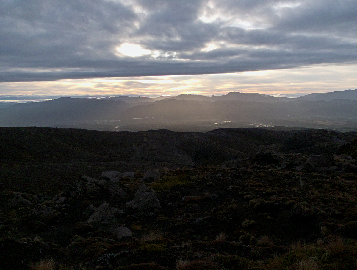
We pushed off around 7:30 and looking back from the first hill was a photo opportunity for another time: Sunrise over the Tongariro Valley, with fog covering the river and the sun from behind. What a pity that we had to push forward. After a longer plain we reached a lava tongue and from here onwards it was pretty steep uphill until the Crossing was reached. I left the other two behind at this point as I was coming into stride.
Just before the Emerald Lakes a couple of joggers appeared as a mercurial sign. I had taken a number of snapshots and a couple of handheld panoramas, but now I also wanted to take a number of measured sequences, i.e. fix a point in the landscape, photograph it, then move 10 steps and repeat – a sort of poor man’s time lapse that can be interpolated by GIMP/GMIC interpolation – interesting to see how this works – or by (4 + n)-point transformation in a way similar to the “accidental” sequences at both ends of the Milford Track in 2013.

Once down I headed to a central rocky outcrop and took a bracketed panorama of the crater with the A470. Levelling never really seemed to work (with the spirit levels at least) so I will look forward to what results will be produced.
In the meantime the stream of people steadily passed through the crater. I decided on Mangatepopo Hut for lunch and moved on fairly rapidly after the crater. The steps were not that difficult to pass, and by now the clientele had turned mainly into school classes who fairly obediently stayed left. One French couple ahead of me with a little girl, perhaps 6 months old, got all the oohs and aahs.

The last part of the track is known as the ‘Hole’, and today was like Stewart Island without the mud. In wet conditions, however, this would have been a nightmare. A number of trampers passed me on their way to Mangatepopo, and for the first – where I knew that they had little more than an hour to go – I informed them of their prospective distance.
The sun was shining and the going was tough and thirsty. I had set sights on a ridge where I would stop for half of the last water, and Whakapapa came into view. In contrast to the track up to now which had been quite open, the rest was beech forest and together with the sun now disappearing behind the clouds this meant I could take off the hat and sunglasses.
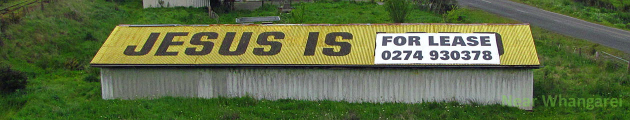
Back in the village (for people who don’t want to say the “f” word) I sent off an OK with the spot, then tried photographing some moths, as school children waited for their buses. Plenty of buses around, but none for me. At one point Mike turned up, a motorbike rider and videographer of bike exploration, having completed the circuit from Oturere in clockwise direction, starting at 8:30. He called his wife, and then the backpackers to pick him up, and he was picked up before me.
I had waited on the street from 3:30 until 4:00 when Mike was gone, but no sign of the bus. Finally at 4:40 a Naked Bus turned up, drove on into National Park, disgorged most of the tourists, then drove to Ohakune (bus stop in town) to drop off the last two of us. Bus driver wanted another $30, which I wouldn’t have any of, claiming that the trip had been paid return, which the bus driver accepted after phoning her office.
Time was getting scarce. I ordered fish’n’chips for $6 from Captain Kune Fish’n’Chips, and then went and got some beer. Picking up the meal from the shop I ran into Gavin who asked why he was still getting messages from my spot. Then the long slog up the hill to Sue & Simon’s where I got in around 6:00.
Met Sue’s other daughter, Jessica and their guests from Germany. Quickly decided on the sequence in Danni’s place: Microwave fish’n’chips, wash feet, eat, shower, write diary. Now to start the computer.