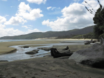
Freshwater River– North Arm, 11.3 km
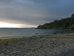
Monday, February 18: Very cold overnight, some cloud in the morning clearing to sun
GPS Tour
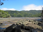
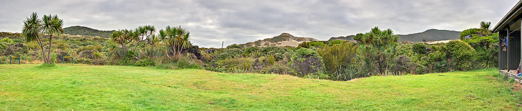
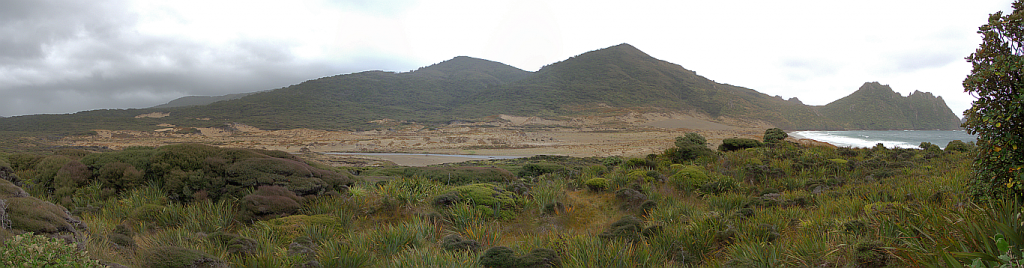
North Arm across the mudflats
It was so cold that the temperature must have gotten below what was allowed for the sleeping bag, so I had to put on the jumper to continue sleeping.
The HK alarm went off first, but no movement from the couple; then the German one went off so I decided it was time for breakfast. Not much left over except for coffee so I had a double shot. Then getting everything packed and ready to go. The HK couple were the first to be ready for their water taxi, and meanwhile Martin and I had taken apart the S-bend in the common room to try to remove the obstruction that was blocking water flowing down the pipe. Dismantled, emptied, but no change in the nett result, except for a bit of leakage. Continue reading