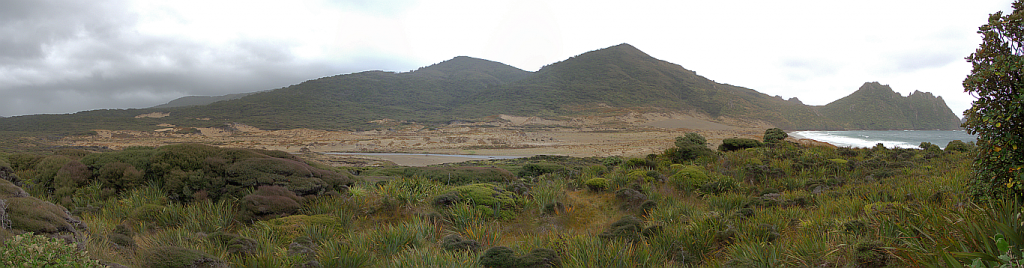
Dumpling – Sandfly Point (22.1 km)
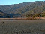
Steamers Beach (see March 6, 2013)
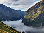
Wednesday, March 13: Some low cloud at first, clearing with dramatic cloud patches left behind. In Te Anau hot
GPS Tour
Youtube video
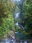
Mackay Falls, exposure bracket
A few were up from 6:30 onwards, and Andrea & Kobi seemed to have difficulty getting up at their 6:45 target; but in any case I had enjoyed a restful night’s sleep and was pretty much ready to go. Only Franklin had started snoring once, but I woke him and got him to turn on his side; and the Belgian guy did snore very softly and it was over when he turned. The Israeli guys were impeccable. All in all we were about 95% snore-free which, for an impromptu revolt, was not bad. Continue reading